
Initiate Integration
Connect directly with senior oceanographic systems engineers to scope deep-water telemetry deployments or request secure API sandbox access. We bypass generic GIS systems to deliver custom, deployable blue-economy assets.
API Sandbox
Telemetry Scoping
Direct Advisory
Immediate access to real-time sea-state forecasting and oceanographic telemetry endpoints. Built for high-load enterprise logistics APIs.
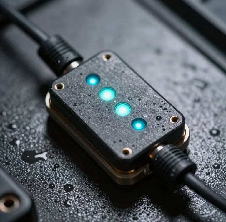
Full engineering support for deploying ruggedized ocean sensors. We design custom telemetry pipelines optimized for extreme marine environments.
Architect bespoke high-fidelity marine modeling systems. Direct collaboration with systems engineers to map complex coastal impact scenarios.
System Specs
Our engineering team reviews all telemetry integration requests within 24 hours. Approved maritime operators and offshore energy developers receive immediate sandbox credentials, bathymetric data pipeline specifications, and secure API documentation.