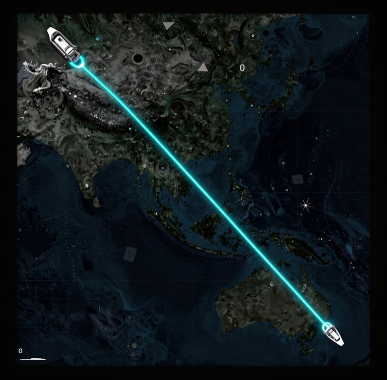
Predictive vessel routing APIs
We bypass generic GIS software to deliver real-time oceanographic telemetry directly to your active fleet, optimizing transit times and reducing fuel consumption in volatile deep-water sea states.
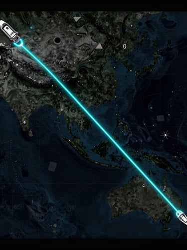
Precision sea-state forecasting
We integrate real-time oceanographic sensor networks with enterprise logistics APIs, translating complex ocean physics into clean, deployable routing assets that perform under heavy maritime conditions.
Ruggedized data streams
Structured JSON outputs
Predictive routing engines output high-fidelity marine modeling vectors—including wave height, wind shear, and current velocity—structured for direct integration into your existing ECDIS and fleet logistics platforms.
Our ruggedized data pipelines ingest raw telemetry from North Sea sensor arrays, filtering environmental chaos into clean, actionable API endpoints that update your navigation systems in real time.
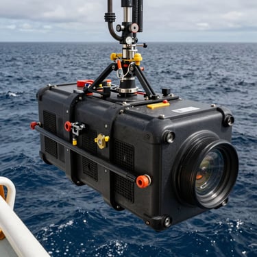
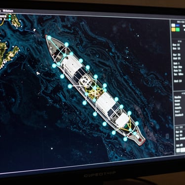
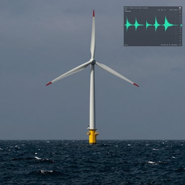
Operational telemetry in action
View the physical realities of our deep-water operations, featuring ruggedized marine hardware installations, real-time telemetry dashboards, and high-fidelity oceanographic data visualizations deployed globally.
Deploy the pipeline
Connect your fleet to the only maritime technology consultancy that directly integrates real-time oceanographic sensor networks with enterprise logistics APIs, bypassing generic software for custom, deployable blue-economy assets.