Proven Oceanographic Intelligence
Real-time telemetry pipelines and high-fidelity marine modeling deployed in high-consequence offshore environments. Explore our verified sea-state forecasting and vessel routing performance metrics.
Empirical Operational Proof
We validate our data pipelines against physical oceanographic sensor networks. These metrics represent audited operational outcomes across our active maritime deployments.
14% Fuel Saved
98% Accuracy
100% Compliance
Vessel routing optimization engines dynamically adjusting to real-time sea-state forecasting in the North Sea transit corridors.
Automated environmental compliance pipelines delivering real-time coastal impact modeling for multi-gigawatt energy projects.
High-fidelity wave height and coastal telemetry predictions verified by offshore wind developer sensor arrays.

Active Sea Deployments
Deep-dive analysis of our oceanographic data pipelines and predictive modeling engines integrated directly into enterprise maritime operations.
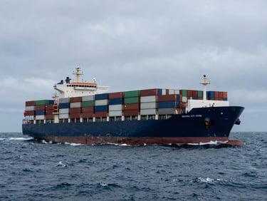
North Sea Transit Corridor
A major maritime logistics operator integrated our predictive routing APIs to bypass heavy sea-states. By combining real-time bathymetric data with vessel telemetry, the fleet achieved a documented fourteen percent reduction in fuel consumption.
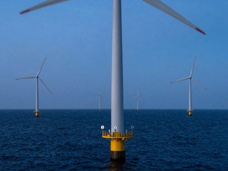
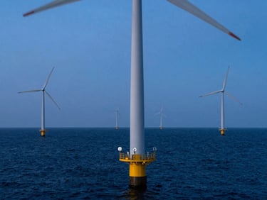
Atlantic Wind Array
We deployed ruggedized data pipelines and coastal telemetry sensors for a multi-gigawatt offshore wind development. The system delivers ninety-eight percent forecasting accuracy, ensuring safe maintenance windows and strict environmental compliance.
Access Technical Telemetry
Get direct access to our system architecture diagrams, API documentation, and oceanographic data pipeline specifications. Our engineering team is ready to deploy custom maritime intelligence for your fleet.